L-A-D Foundation - Land Stewardship in the Missouri Ozark Highlands Since 1962
L-A-D Foundation - Land Stewardship in the Missouri Ozark Highlands Since 1962


Cave Spring, Shannon County, 172.55 acres

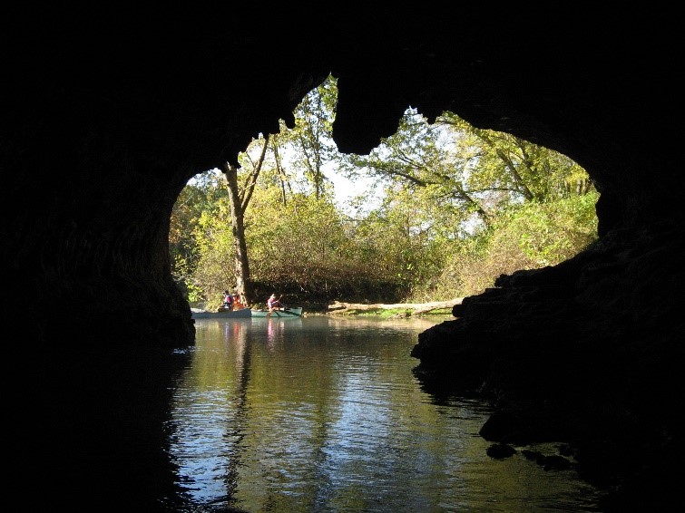
Description. Cave Spring on the upper Current River is among the 20 largest springs in Missouri. Located between river miles 20 and 21 on the left bank descending, it has a spectacular river entrance at the base of the bluff. The nearly vertical shaft of water emerges within a small, air-filled room just inside the mouth of the cave emptying an estimated 32 million gallons of water into the Current River each day.
All the water is coming up from an extensive underground spring supply system fed by at least two large storage reservoirs, Devils Well and Wallace well. Devils Well is a public use area owned and managed by the Ozark National Scenic Riverways, National Park Service. Here visitors can descend a short distance into the mouth of the sinkhole and peer into the water-filled cavern below. The surface area of this underground reservoir is larger than a football field and these waters eventually emerge at Cave Spring.
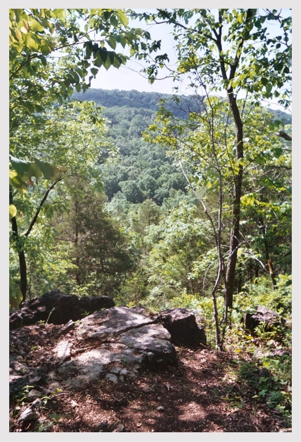
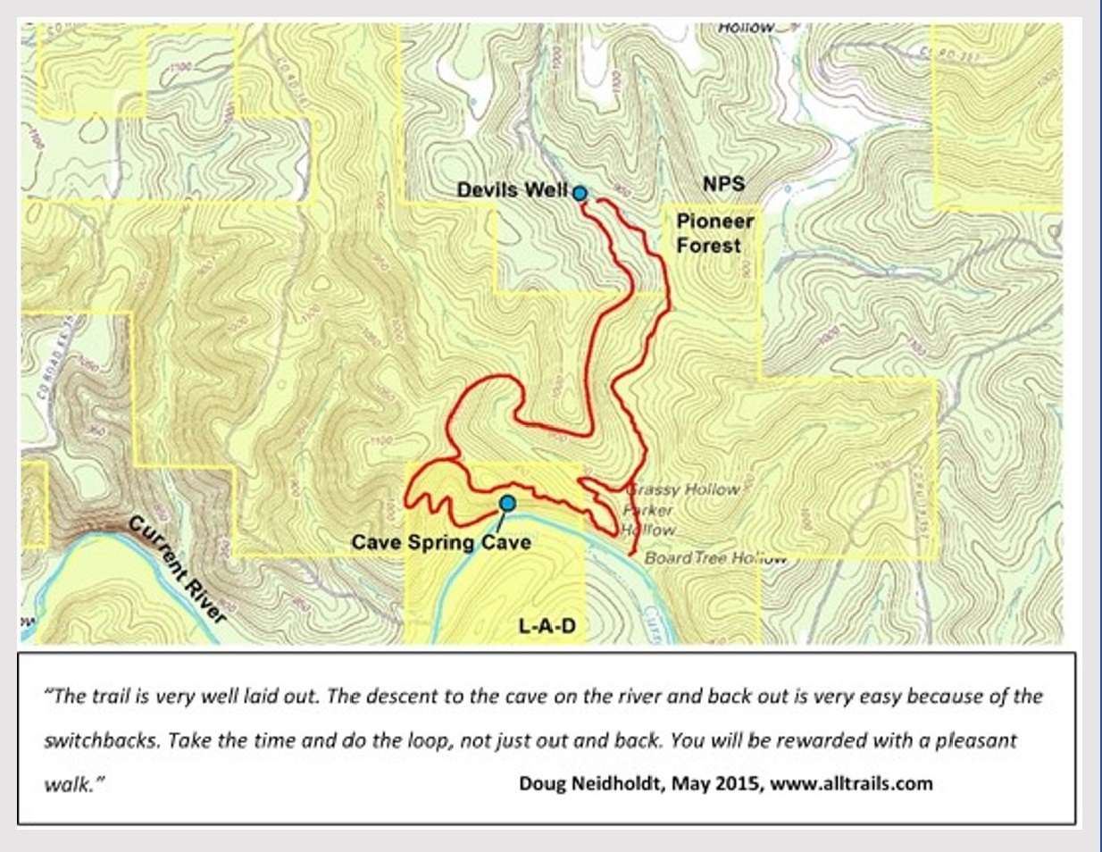
There is a small area to park, and a trailhead here for the walking route connecting Devils Well with Cave Spring and the Current River. This is a moderately difficult 4.6-mile-long loop trail. Hikers leaving the trailhead at Devil’s Well cross hillsides with several small limestone glades, down into moderately steep hollows, across intermittent streams, and through a small grove of large, old shortleaf pine overlooking the river valley. At that point hikers follow the trail down to the Current River and mouth of Cave Spring. The return loop from this point crosses Grassy Hollow and leads up Parker Hollow returning to Devils Well.

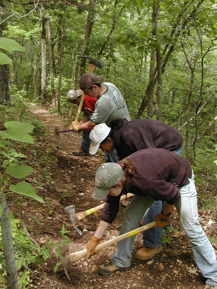
Volunteers working on Cave Spring Trail
PHOTO BY: Greg Iffrig


Recognition. Thomas Hart Benton is one of Missouri’s most famous painters and depicted the scene at the entrance to Cave Spring in a painting he completed in 1963. Benton’s love for America was celebrated in his landscapes of the country and its people. Leo Drey, Founder of the L-A-D Foundation, purchased this area as he was assembling Pioneer Forest beginning in 1951. In 1970 Leo and Kay Drey donated Cave Spring to the Foundation. The area surrounding Cave Spring is part of a larger area along the Current River, established by the U.S. Congress in 1964 as America’s first national river and named Ozark National Scenic Riverways.
Directions. Cave Spring is in Shannon County and may be reached by floating the river, or by hiking the trail. The spring and cave entrance can be reached by floating down the Current River, it is about 5 miles below Akers Ferry.
The trailhead at Devils Well may be reached by driving south on Highway 19 from Salem, and, after crossing into Shannon County, turn west (right) onto Route KK and go about three miles. At that point Ozark Riverways signs will indicate the turn south (left) onto a county gravel road. From there it is about 1.5 miles to the parking area.
© 2013-2023 L-A-D FOUNDATION ♦ 725 KINGSLAND AVE., SUITE 100, ST. LOUIS, MO 63130 ♦ 314-621-0230 ♦ EMAIL: INFO@LADFOUNDATION.ORG
PIONEER FOREST ♦ PO BOX 497, SALEM, MO 65560 ♦ 573-729-4641
♦ SEE PRIVACY POLICY
This site maintained by Craig Technology Consulting • 201 E. 4th St. • Salem, Missouri 65560 • PH 573.453.2322