L-A-D Foundation - Land Stewardship in the Missouri Ozark Highlands Since 1962
L-A-D Foundation - Land Stewardship in the Missouri Ozark Highlands Since 1962


Virgin Pine, Shannon County, 41.42 acres
Trail temporarily closed due to timber harvest activity.
Description
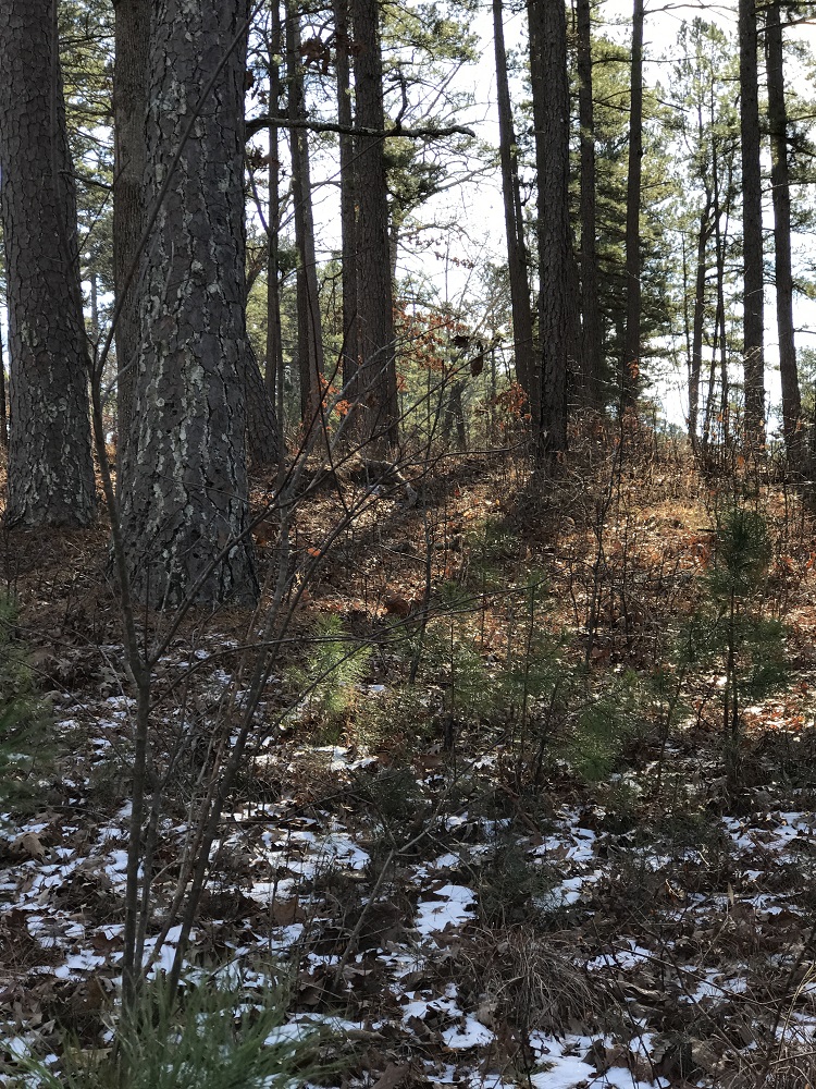
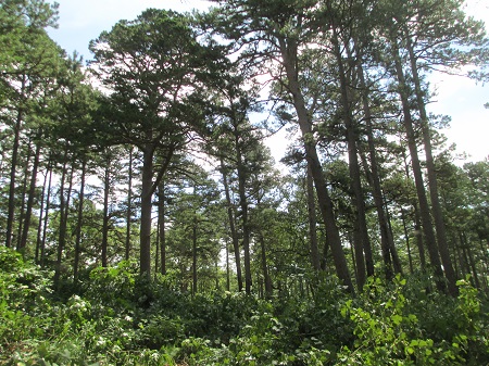
In the late 1800's shortleaf pine was estimated to cover as many as 4.2 million acres of the Ozarks. By the 1900's the large shortleaf pineries were being cut in southern Missouri. As cutting continued moving north, the Missouri Highway Department, sensing that the scenic piney woods just south of Round Spring along either side of its Highway 19 would be lost, bought a narrow strip of land on each side of the road. It became known as Missouri's Virgin Pine Forest.
This pine area is historically important as well. The large pines found here on a ridge high above the Current River Valley, and the more extensive pine forests which surrounded it were home to the last recorded red-cockaded woodpecker in Missouri. Five birds were last observed in June of 1946 the same year that logging began.
In 1993 Dr. Richard Guyette, a dendrochronologist at the University of Missouri-Columbia sampled several large, old trees and estimated they began growing here in 1791. From Guyette's other work in Missouri we know shortleaf pine can grow beyond 300 years.

Pine-Oak Woodland Management at Pioneer
Forest, PHOTO BY: Greg Iffrig

PHOTO BY: Neal Humke
This area was acquired by the L-A-D Foundation in 1996 and is managed by Pioneer Forest LLC. We are using management methods which protect the larger and older trees while we work beneath their canopy to encourage characteristic grasses, shrubs, and flowering plants as well as the next generation of shortleaf pine trees.
Recognition
Highway 19 became one of Missouri's original state highways in 1922. In 1940 the Missouri Highway Department acquired a one mile-long and 200 feet wide strip along either side of the state road to protect its scenic and 'piney' character. In 1996 the L-A-D Foundation acquired 41 acres of surplus right-of-way from the Highway Department. In 2011 the Missouri General Assembly recognized Highway 19 as "a rustic and scenic road dedicated to enjoyment of the scenic beauty of the area of the state of Missouri adjoining that highway."
Directions
This area is located on Highway 19 south from Round Spring. The best point of entry is midway along the one-mile route by turning east on a county gravel road. This turn is clearly marked by a Pioneer Forest sign and leads to a small parking area. At the parking area, you should find brochures and information on a short walk and an interpretive drive through Pioneer Forest.
Click here to download the PDF Brochure (right click and "Save As")
© 2013-2023 L-A-D FOUNDATION ♦ 725 KINGSLAND AVE., SUITE 100, ST. LOUIS, MO 63130 ♦ 314-621-0230 ♦ EMAIL: INFO@LADFOUNDATION.ORG
PIONEER FOREST ♦ PO BOX 497, SALEM, MO 65560 ♦ 573-729-4641
♦ SEE PRIVACY POLICY
This site maintained by Craig Technology Consulting • 201 E. 4th St. • Salem, Missouri 65560 • PH 573.453.2322