L-A-D Foundation - Land Stewardship in the Missouri Ozark Highlands Since 1962
L-A-D Foundation - Land Stewardship in the Missouri Ozark Highlands Since 1962


Clifty Creek Natural Area, Maries County, 230 acres

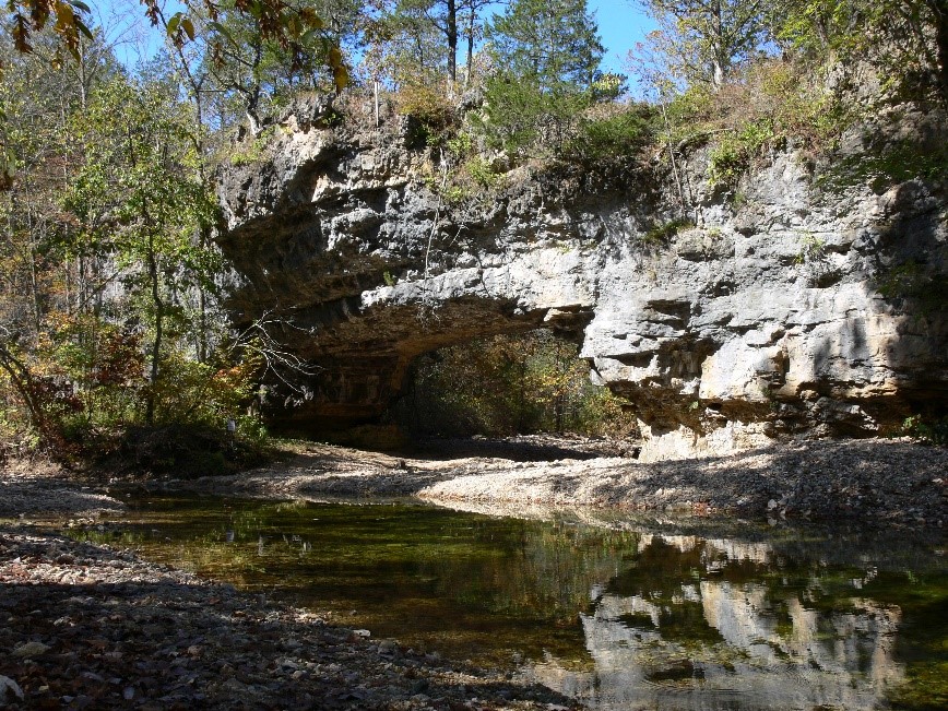
PHOTO BY: Greg Iffrig
Background
First mention of this area was by G.C. Broadhead (Reports of the Geological Survey of the State of Missouri) in 1873. Broadhead’s fieldwork noted Clifty Creek Natural Bridge. The later report indicated “The valley at this point, being shut in by its perpendicular cliffs, with not a path to guide the traveler through the dense thickets, is wildly picturesque and romantic in its loneliness.”
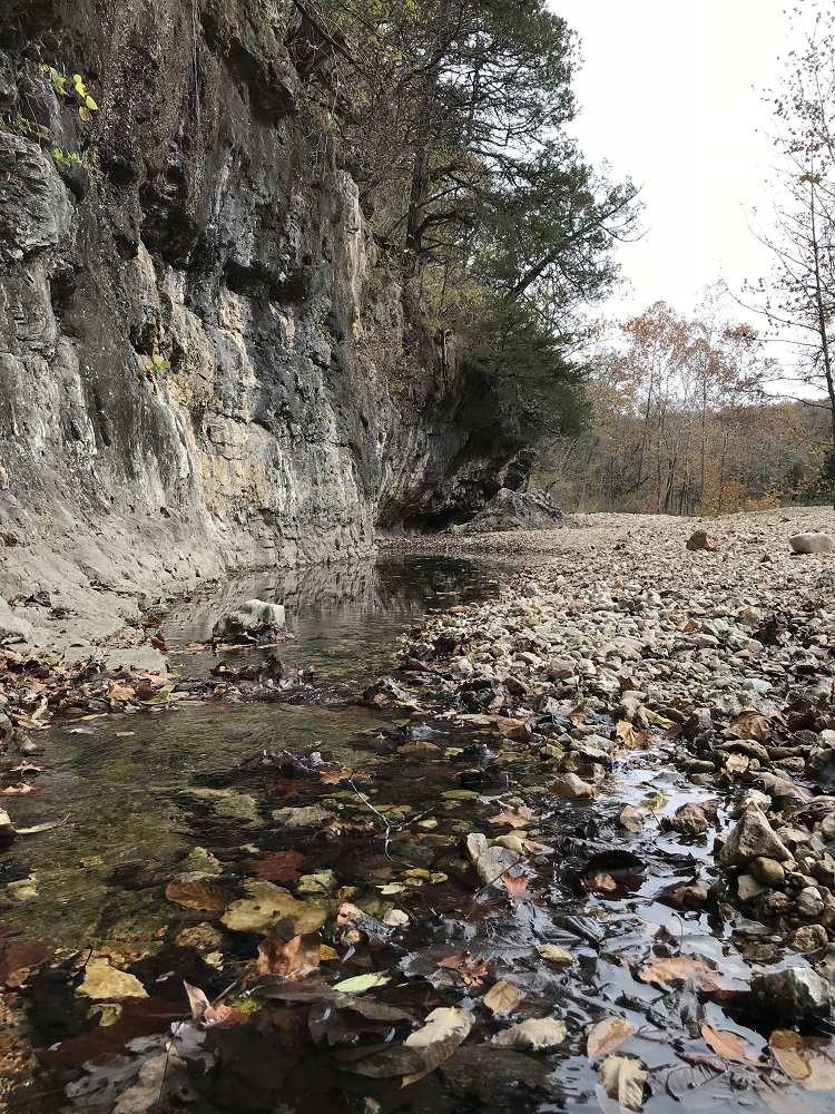
The natural bridge is impressive and located in an old creek bed, a tributary stream which had cut through Gasconade dolomite. The bridge is 13 feet tall and spans 40 feet. The area includes oak and hickory forested hills, glade openings, limestone bluffs, and bottomland hardwoods.
In 1984, Robert Mohlenbrock, Professor of Botany, Southern Illinois University, collected and recorded 458 species of ferns and flowering plants, including shooting star, hairy phlox, and false dandelion common in the upland woods in the spring. Woodlands along the lower slopes include four species of ferns. Glades on very steep slopes harbor paintbrush, purple coneflower, and purple prairie clover.
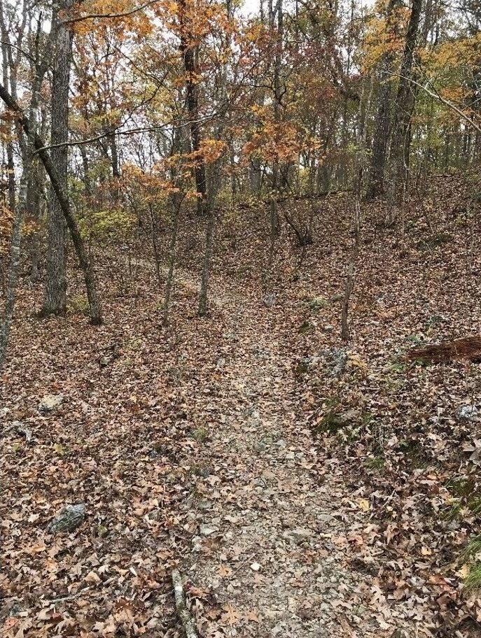
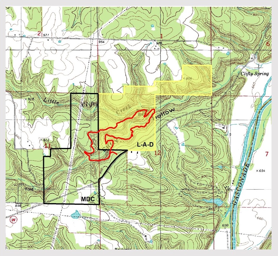
The parking area serves as the trailhead for a short, very scenic, 2.5-mile-long loop trail. The trail was designed by John Roth, founder of the Ozark Trail Association and dedicated in 2008. It was constructed entirely with the use of hand tools, through funding and services from the Conservation Department, the Missouri Conservation Heritage Foundation, the L-A-D Foundation, and the Missouri Department of Natural Resources’ Recreation Trails Program. The trail provides a long view overlooking Clifty Creek, glimpses of its occasional permanent pools, passes through small scattered glades, which are being managed with prescribed fire, follows an easy walk just above Clifty Creek, and crosses the creek twice. Long views of the creek valley are best viewed from the trail during the winter months.
“This 2.5-mile loop trail is considered a moderate hike due to the rugged and rocky terrain. Find features like stunning foliage, beautiful limestone rock formations, and a rocky creek along this amazing trail.” Liz Oliver, November 2017, www.onlyinyourstate.com
Recognition
This area was designated a Missouri Natural Area in 1971, the first such area to be recognized in the state. The L-A-D Foundation owns the natural area and donates its lease of its lands to the Missouri Department of Conservation. They manage the foundation’s property together with their adjoining land as Clifty Creek Conservation Area. These 486 acres include a small parking area along Maries County Road 511.
Directions
From Dixon take Highway 28 north to Route W, turn east (right) and follow until the pavement ends. Continue to the parking lot on the north side of the road and the trailhead.
For More Information
http://mdc.mo.gov/discover-nature/places/natural-areas/clifty-creek


© 2013-2023 L-A-D FOUNDATION ♦ 725 KINGSLAND AVE., SUITE 100, ST. LOUIS, MO 63130 ♦ 314-621-0230 ♦ EMAIL: INFO@LADFOUNDATION.ORG
PIONEER FOREST ♦ PO BOX 497, SALEM, MO 65560 ♦ 573-729-4641
♦ SEE PRIVACY POLICY
This site maintained by Craig Technology Consulting • 201 E. 4th St. • Salem, Missouri 65560 • PH 573.453.2322